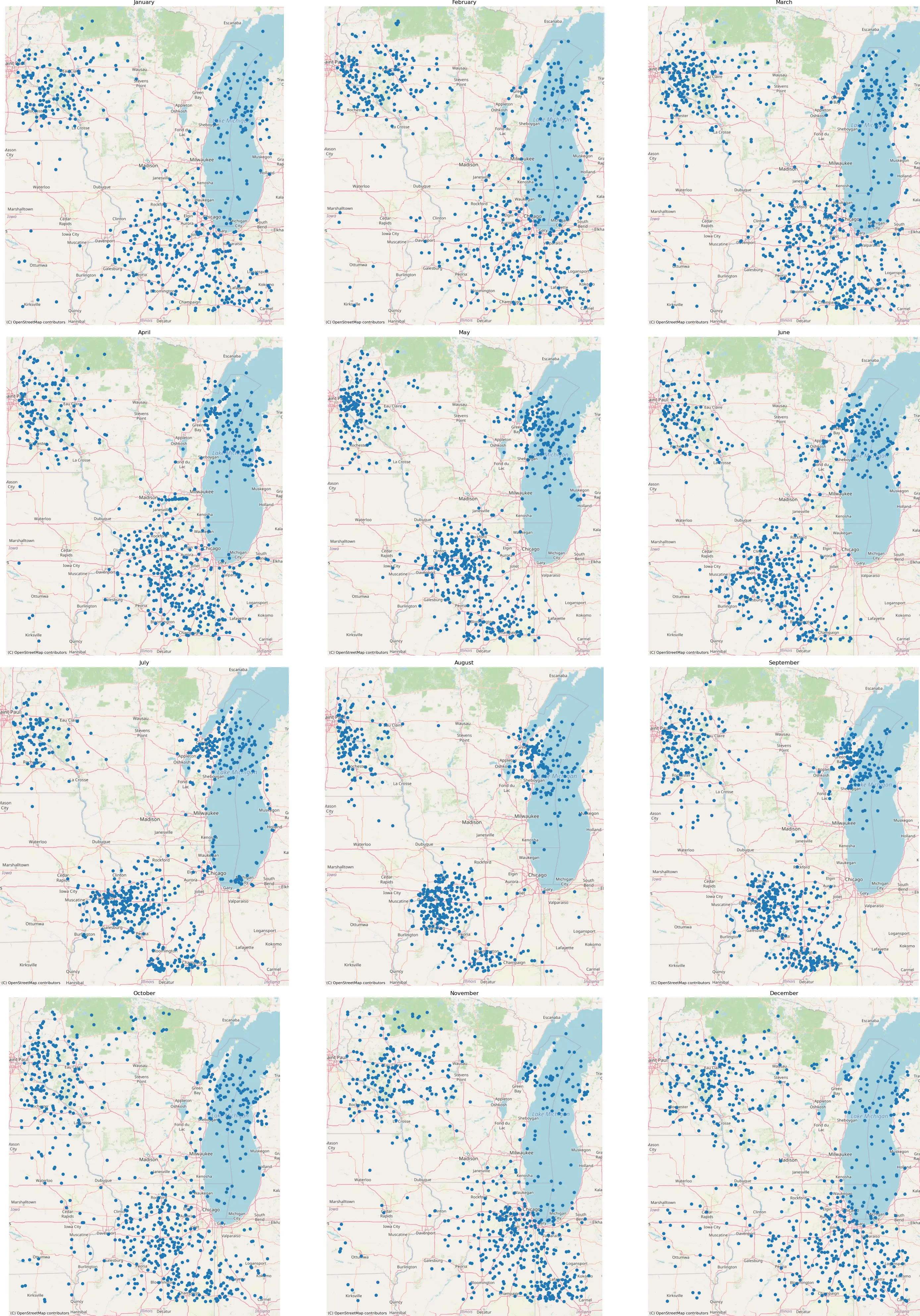
Sonde Landing Calendars
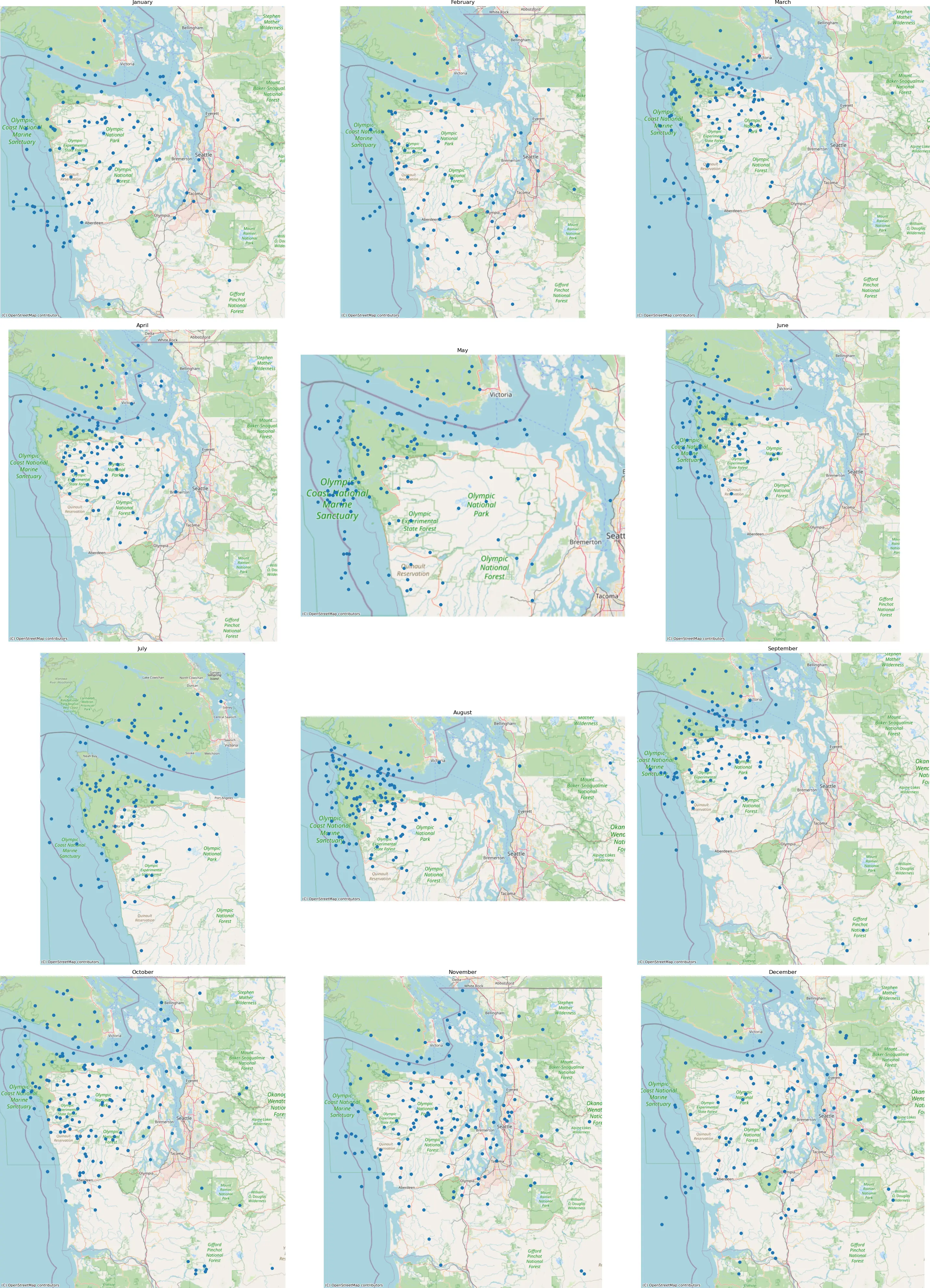
Weather patterns change with the seasons. As prevailing winds change, so do the typical landing zones of radiosondes. To determine the best times of year for finding sondes, I created a tool that would draw a “map calendar”—12 small maps in a grid, one for each month of the year, showing the historical landing locations of sondes during that month.
In my home town of Seattle, for example, sondes are hard to retrieve. The nearest launch site is Quillayute, about 100 miles (170km) west, with the Olympic forest in between. Sondes sometimes make it far enough east to be close to civilization, but often land in the ocean or deep in inaccessible parts of the Olympics.
The Seattle-area calendar makes it clear that this effect is seasonal. From June to September, sondes consistently land in the ocean or the forest. We can confidently plan not to spend time sonde-hunting during the summer here! The best months seem to be November to January.
You can view these other pre-generated example calendars:
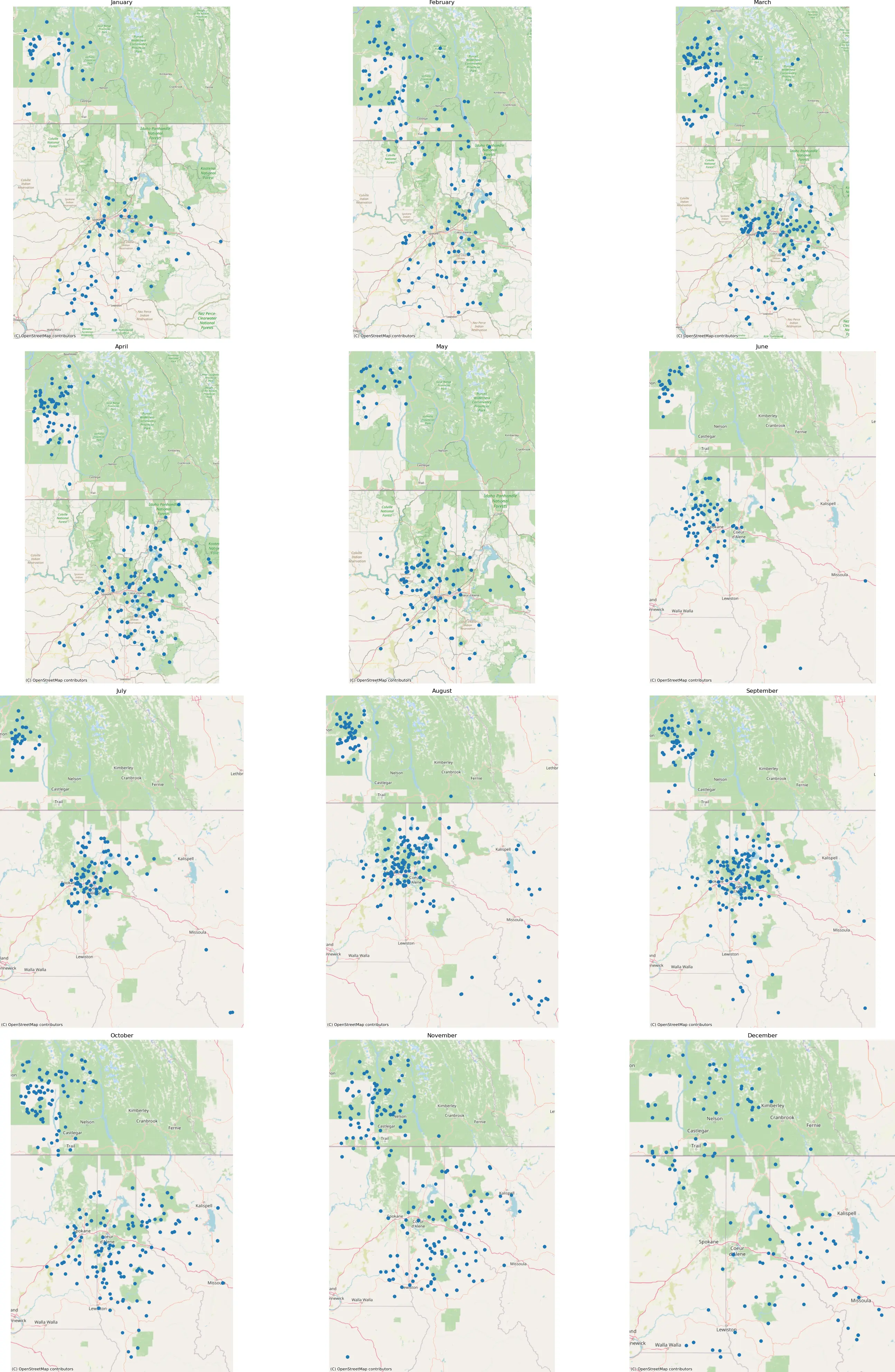
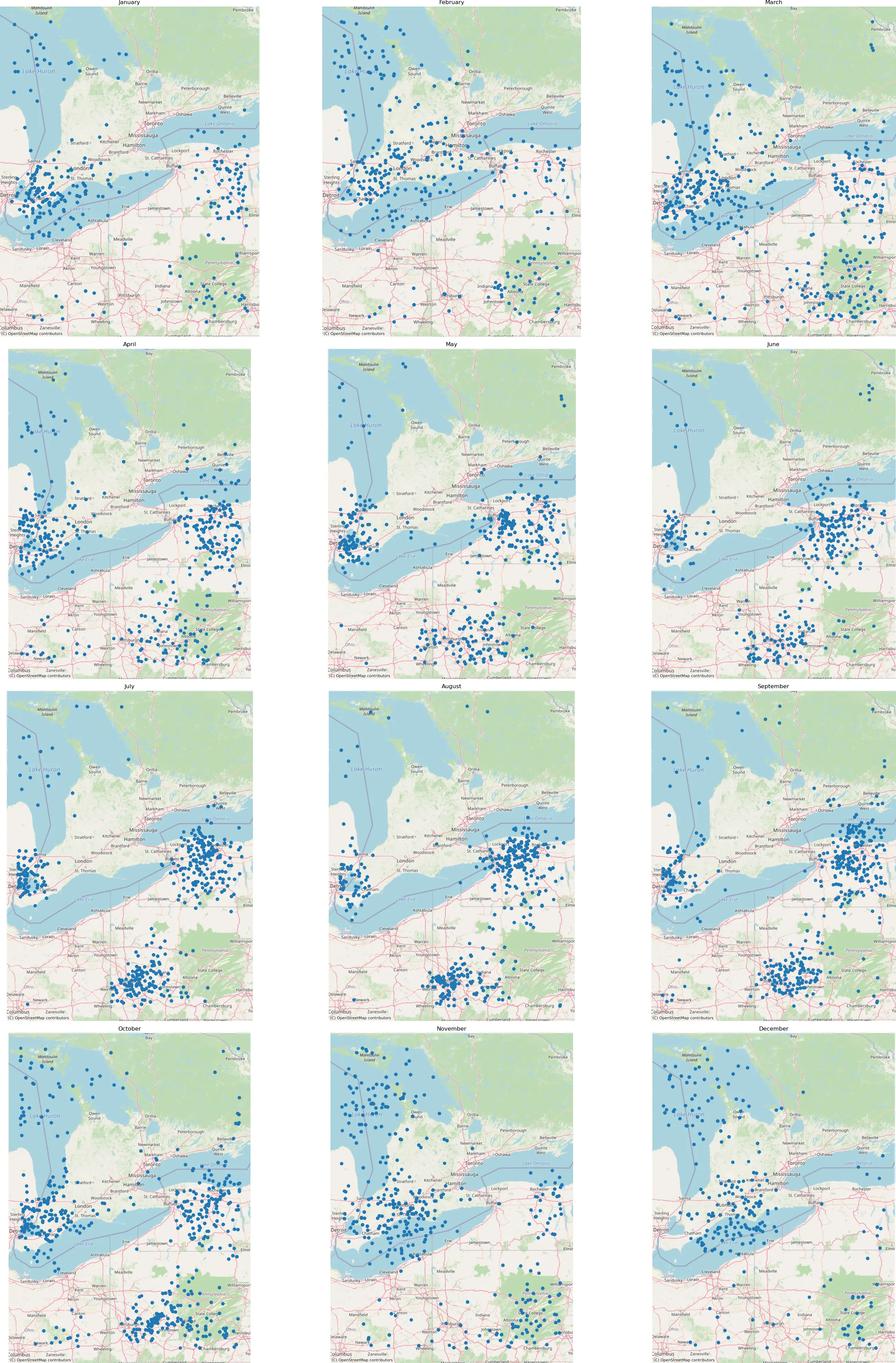
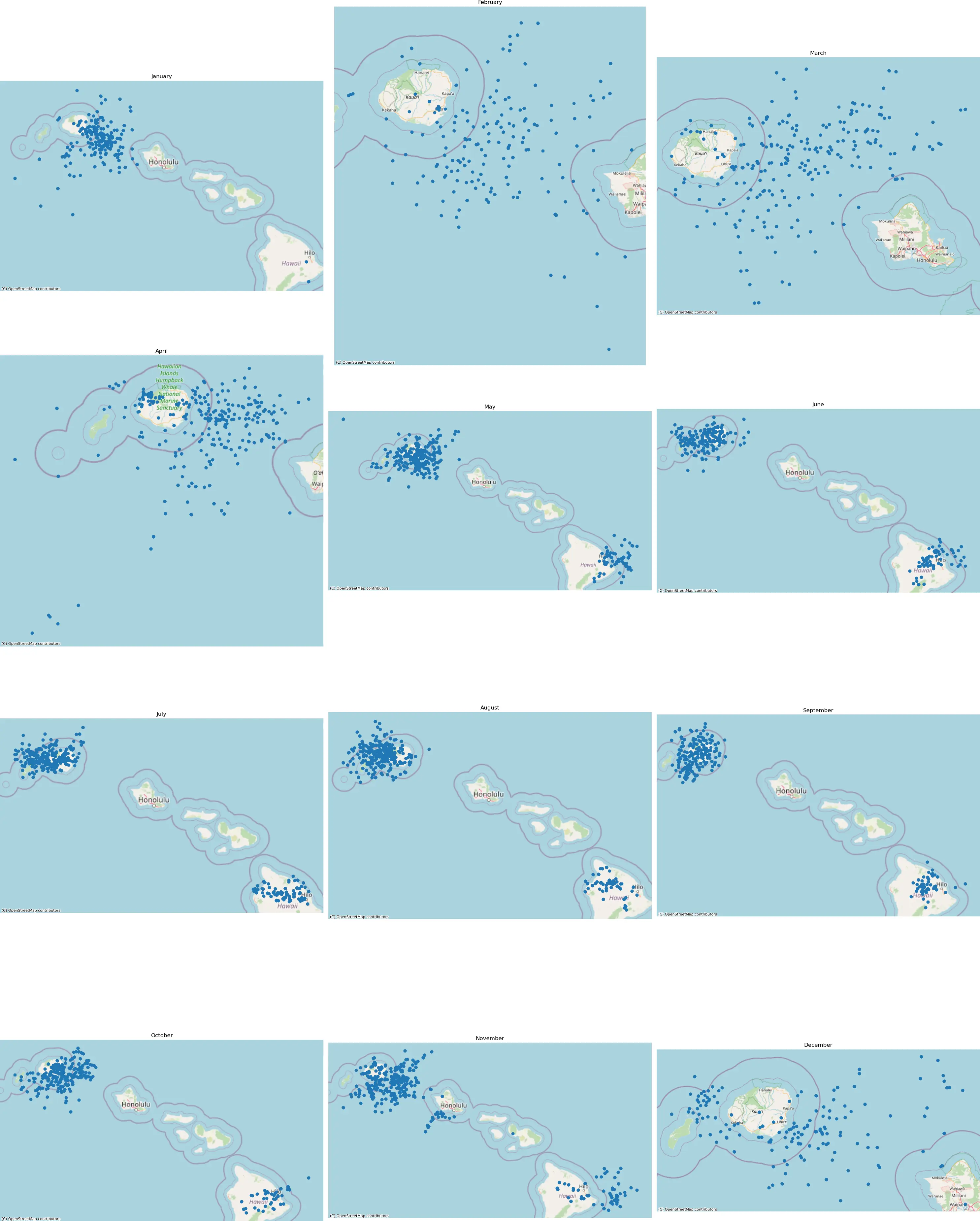
Interactive Calendar Generator
Use the map below to pan and zoom to your area of interest, then click “Generate Calendar” to create a custom landing calendar for any region in the world. If you prefer to run the calendar-generator on your own computer, the code is here.